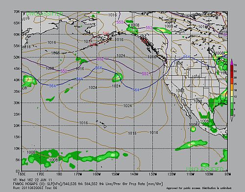
Thing are hotting up. Though not in the much vaunted Atlantic Ocean. The Pacific Ocean is the active one this year. Just a few days before it threw up Adrian. Now Beatriz is taking shape. Beatriz is going to nudge closer to the Mexican coast than Adrian did.
The other hot spot is the Philippine Sea. Tropical storm Six-W is brewing out there.
BEATRIZ
The storm has taken shape south of the town of Chilpancingo. It is expected to move north-westward and go near the coast of Colima and then start moving west into the ocean. By June 22, Wednesday, 2011 it will have weakened and breathed its last. Strangely Guatemala and El Salvador will get a drenching on Monday and Tuesday. The Mexican coast in contrast will get occasional drizzles.
BEATRIZ'S PATH
Monday morning. June 20 2011. Beatriz hovers south of Chilpancingo
Tuesday June 21, 2011. Beatriz moves closer to the coast as it moves north west. Near Colima. But it has weakened.
Wednesday June 22, 2011. Beatriz has moved westward and is in its death throes
SIX-W
Six-W now stands in the Philippine Sea. JTWC thinks it is going to move into the Chinese mainland and then gradually dissipate.
JTWC thinks Six-W will enter China.


No comments:
Post a Comment