This lady monster has stamina! Hurricane Patricia is a category 5 tropical cyclone in north east Pacific Ocean and has given Mexico a fright of its life. It is going to hit Jalisco province of the country at around 0000 GMT, October 24, 2015. That is in less than 18 hours.
The hurricane will rapidly weaken into a tropical storm hours after impact and then into a tropical depression after that. But it is going to bring very heavy rains as it cuts across Mexico.
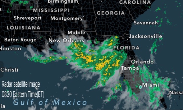
By October 25 it will have reached Houston, Texas. Patricia will go for a brief stroll in the Gulf of Mexico. On October 28 it will re-enter the United States and move through Mississippi, Alabama and Kentucky.
In the next 48 hours after that Patricia will move through the states on the eastern coast (including New York) and through Quebec, Newfoundland in Canada into Labrador Sea.
By November 2 the system will have turned into a extra-tropical cyclone and entered Baffin Bay.
So we see that Patricia is no ordinary hurricane. It is going to travel through 3 countries in the coming 10 days.
We have based our predictions on the forecast data from the ECMWF model. It had been proved right from the beginning during hurricane Joaquín. It had predicted it would not make landfall into eastern USA even as other models, including the NHC were predicting a hit on the eastern coast.
Latest satellite image of category 5 hurricane Patricia